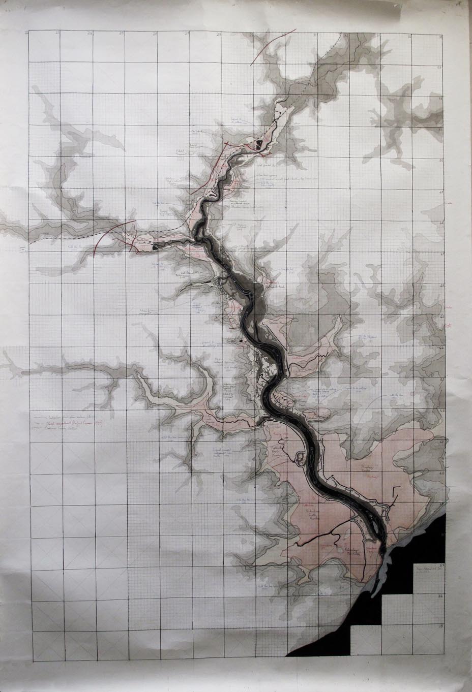
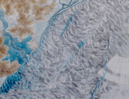
A map of the River Deben to explore its systems and susceptibility for them to fail 1999-2009 When Posford Duvivier and the Environment Agency unveiled the first estuary strategy for the River Deben in 1999, it became clear that there was very little public awareness of the terms of reference for the report, nor was there a great understanding of estuary systems.
At the time had agreed to take over the task of representing the River Deben Association in environmental matters relating to the river, so making sense of the Estuarine Strategy became my job.
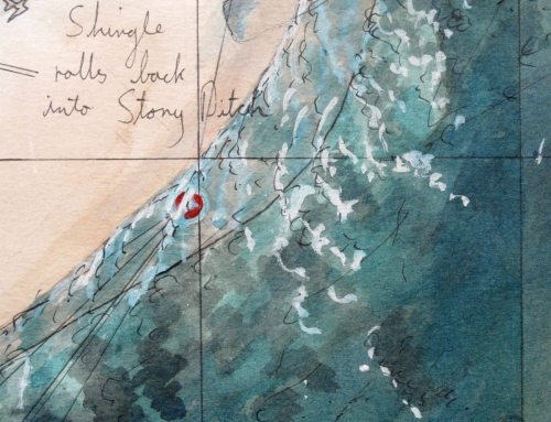
In the first instance I could not trace any large-scale maps that related the river to its defences and surrounding landscape and also gave its floodplain. So I decided to make my own.
All of this information existed but was only retrievable from a wide range of sources; from admiralty charts, OS maps, Environment Agency Indicative Flood Plain Maps, and aerial surveys, all of which needed to be cross-referenced and “ground truthed”.
By doing this I felt better equipped to enter into the debate. The map is pretty accurate and remains a useful tool to the present day. Any changes on the river or additional information have been added to it as appropriate.