") My purpose here was to get the area covered by the current Shoreline Management Plan for Suffolk on to one map so that I could explore its implications and see more clearly how a decision made on one stretch of coast would impact upon another.
My purpose here was to get the area covered by the current Shoreline Management Plan for Suffolk on to one map so that I could explore its implications and see more clearly how a decision made on one stretch of coast would impact upon another.
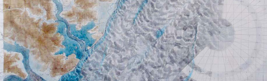
My method was to put the topography, bathymetry and tidal flow together, add the preferred options for the area between Covehithe and Harwich, set up a north easterly storm on a rising tide and see what would happen.
The map is made on the principle of “this much I know, the rest I shall guess” with an emphasis upon the need to ground the guesswork.
Although this is a speculative exercise, through it I feel much more familiar with the exercise than I would have done by just attending the public consultations and reading the reports.