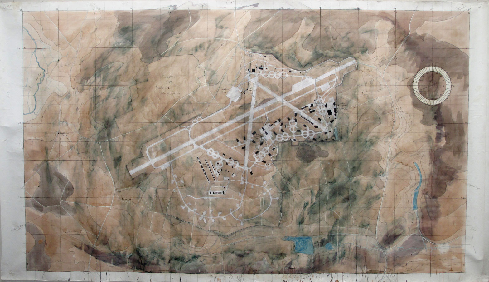
RAF Bentwaters, near Woodbridge, was built during World War 2 for the USAF, primarily as a casualty airfield to which damaged aircraft could be diverted.
After the war it remained in American hands until the end of the Cold War, when it was unceremoniously handed back.
After a period of uncertainty a private investor put in for planning permission to set up a civil airport. Although this was consistent with the national policy to alleviate pressure on Heathrow and Gatwick by setting up more regional airports, it was inconsistent with the local plan.
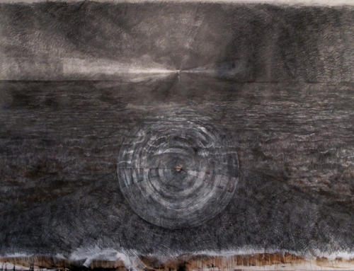
I was deeply involved in a campaign to oppose the plan and as a part of this I decided to make a drawing/map of the site to explore its landscape in the past up to its character at the time of the closure of the military facility and to think about how it might be used should we be successful and the airport bid fail.
The outcome was that we won the case, but there was very little interest in seeking any alternative use for the site other than light industrial, agricultural and a source of hardcore for the building industry.
In this way, the longest runway in Europe is slowly being dismantled.